Go early
The coffee lanes
Degraves and Centre Place
- StartFlinders Street Station
- Best hourBefore the lunch rush
- DoBrunch in the lane
Guides
Language
Currency
Find open dates$90 and up · free cancelSpot your stop
Summary
The famous Melbourne laneways are Degraves Street and Centre Place for coffee, Hosier Lane and AC/DC Lane for street art, and Hardware Lane and Meyers Place for food and bars, all inside the old city grid.
Lane essentials
Open 54 stops
Tap a route first, then a pin or stop, for its note and Google Maps.
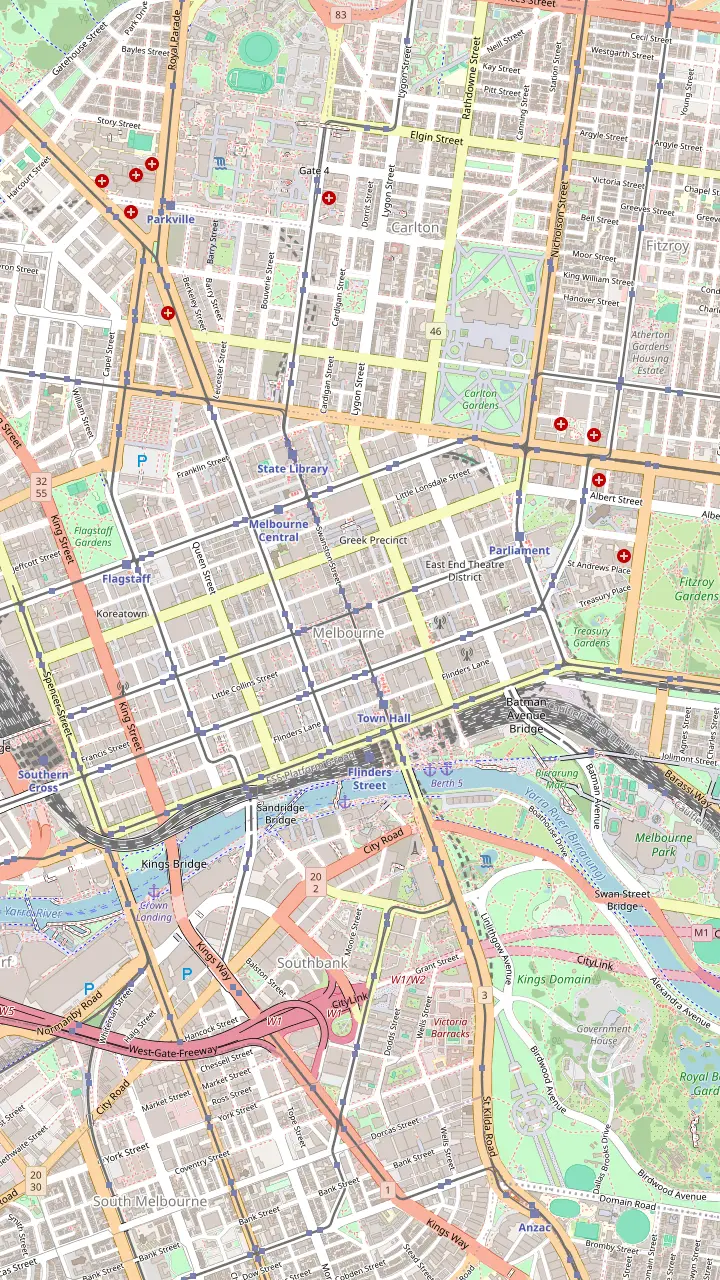
Opposite Flinders Street Station: brunch tables down the middle of the lane, street art, and small shops such as a Florentine stationer.
Google MapsA narrow, crowded alley of cafes and bars; note the Spanish Moorish Majorca Building on the corner, from 1928.
Google MapsThe lane behind the Block Arcade; its line is the reason the arcade bends.
Google MapsNamed after the fabric factories of the 1860s, now small designer and shoe shops.
Google MapsThe old rag-trade lane, with the Nicholas Building at its Swanston Street end.
Google MapsThe city's best-known street art lane, repainted so often that pieces vanish overnight.
Google MapsAustralia's first street named after a rock band, with a lightning bolt instead of the slash.
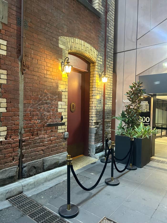
Google MapsHome of the bar that started the laneway revival, with Mike Makatron's Jungle Funk mural at the entry.
Google MapsA long lane of outdoor tables and live music; Kirk's recalls its 1840s horse trading.
Google MapsA rare survivor of the industrial city, now green with plants and cafes.
Google Maps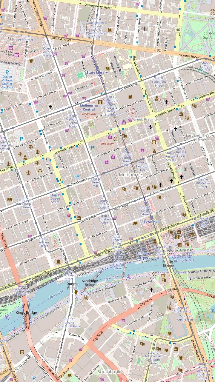
Opposite Flinders Street Station: brunch tables down the middle of the lane, street art, and small shops such as a Florentine stationer.
Google MapsA narrow, crowded alley of cafes and bars; note the Spanish Moorish Majorca Building on the corner, from 1928.
Google MapsCrepes and banh mi, and a look up at Bible House of 1898.
Google MapsAn Art Deco arcade that opens into the Nicholas Building of 1926.
Google MapsNamed after the fabric factories of the 1860s, now small designer and shoe shops.
Google MapsGlass roof and a mosaic floor laid with tiles from Europe; the Collins Street side was finished in February 1892.
Google MapsAustralia's oldest surviving arcade, built in 1869; Gog and Magog have struck the hours since 1892.
Google MapsA long lane of outdoor tables and live music; Kirk's recalls its 1840s horse trading.
Google MapsStreet art below, a piano bar upstairs.
Google MapsA double-storey shipping container bar with a rooftop.
Google MapsArtist Mirka Mora once worked here; today the balconies spill greenery.
Google MapsCoffee roasters and a shop for shoes, haircuts and suits.
Google MapsA rainbow-lit arcade with a direct way into Emporium and the GPO.
Google MapsFashion, cake and a basement bar under the lane.
Google MapsA green wall leads to a lantern-lit pizzeria; Emporium's floors of shops are at the far end.
Google Maps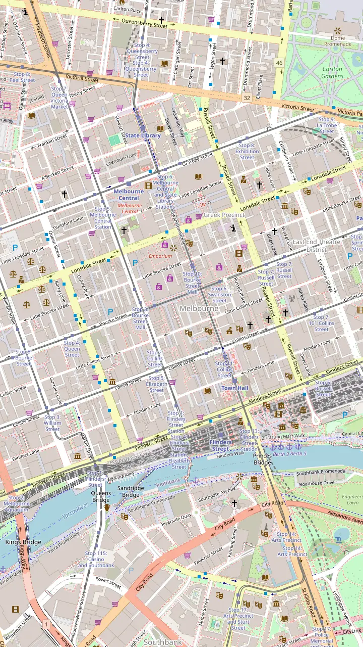
Glass roof and a mosaic floor laid with tiles from Europe; the Collins Street side was finished in February 1892.
Google MapsAustralia's oldest surviving arcade, built in 1869; Gog and Magog have struck the hours since 1892.
Google MapsEdwardian Baroque of 1911 linking Collins Street and Flinders Lane.
Google MapsAn Art Deco arcade that opens into the Nicholas Building of 1926.
Google MapsA 1924 cinema with lit ceilings by Walter Burley Griffin and Marion Mahony Griffin.
Google MapsArt Deco of 1932 and Melbourne's first building with escalators; mosaic arcade at street level.
Google MapsThe lane that leads to Presgrave Place, with a tiny vegan jaffle kiosk.
Google MapsA rainbow-lit arcade with a direct way into Emporium and the GPO.
Google MapsThe lane behind the Block Arcade; its line is the reason the arcade bends.
Google Maps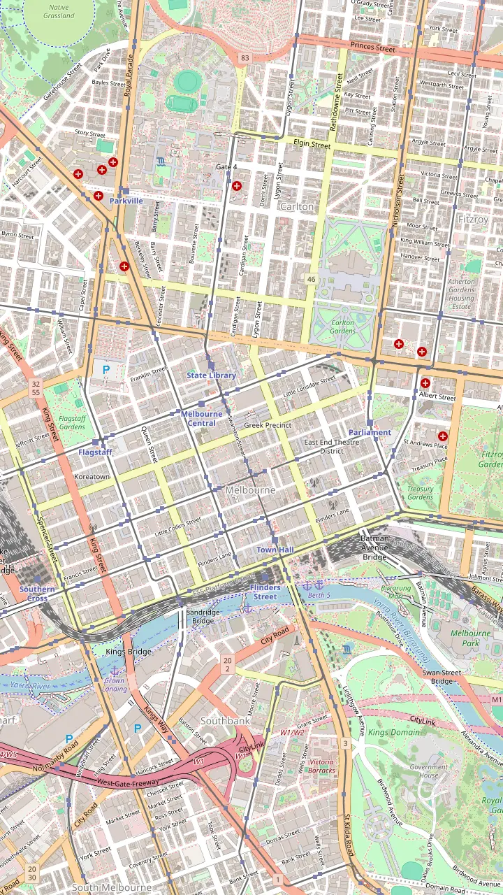
The city's best-known street art lane, repainted so often that pieces vanish overnight.
Google MapsOff Hosier Lane; even the bins here are painted over.
Google MapsAustralia's first street named after a rock band, with a lightning bolt instead of the slash.
Google MapsBig murals by Fintan Magee and Steen Jones, and one of the last Banksy rats.
Google MapsLisa King's giant sleeping woman on the wall of Brunetti.
Google MapsA miniature outdoor gallery of framed works on the walls.
Google MapsAbove the lane, a feathered portrait by Adnate and Shida from 2012; the container bar Section 8 below.
Google MapsA winding lane off Little Bourke Street with colourful murals.
Google MapsA tiled mosaic for Legacy House and a towering mural by Jaz Mishap at the end of the alley.
Google MapsNamed after Blender Studios, an early home of the city's street art scene, off Franklin Street.
Google MapsHome of the bar that started the laneway revival, with Mike Makatron's Jungle Funk mural at the entry.
Google Maps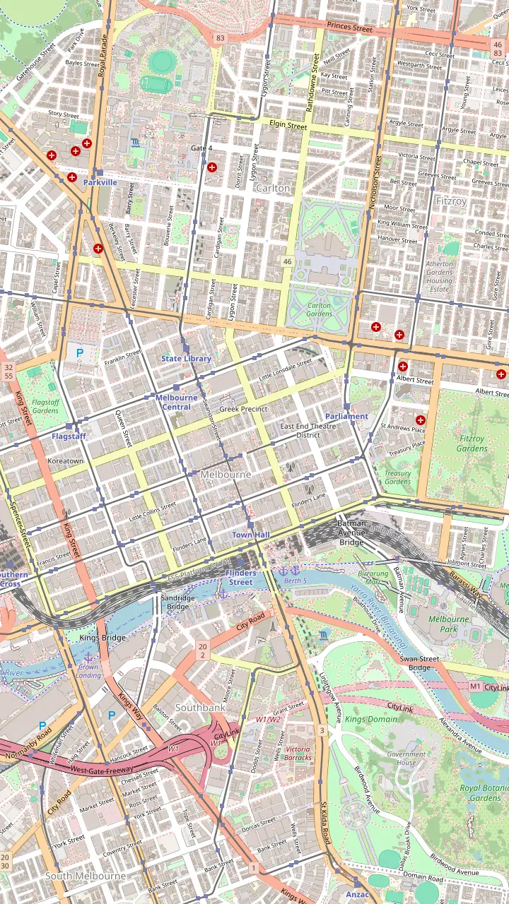
Australia's oldest train station site; the present building was completed in 1910. Meet under the clocks.
Google MapsA hotel built in 1861, before the station across the road.
Google MapsCompleted in 1870 in bluestone and Tasmanian freestone; free tours are offered.
Google MapsAustralia's oldest surviving arcade, built in 1869; Gog and Magog have struck the hours since 1892.
Google MapsGlass roof and a mosaic floor laid with tiles from Europe; the Collins Street side was finished in February 1892.
Google MapsListed as the oldest building in Melbourne, in a lane off Collins Street.
Google MapsOpened in 1854; Ned Kelly's armour is on display.
Google MapsMelbourne's prison from 1845, run today by the National Trust.
Google MapsIts exhibition traces how the city boomed after the 1850s gold finds.
Google MapsArt Deco of 1932 and Melbourne's first building with escalators; mosaic arcade at street level.
Google Maps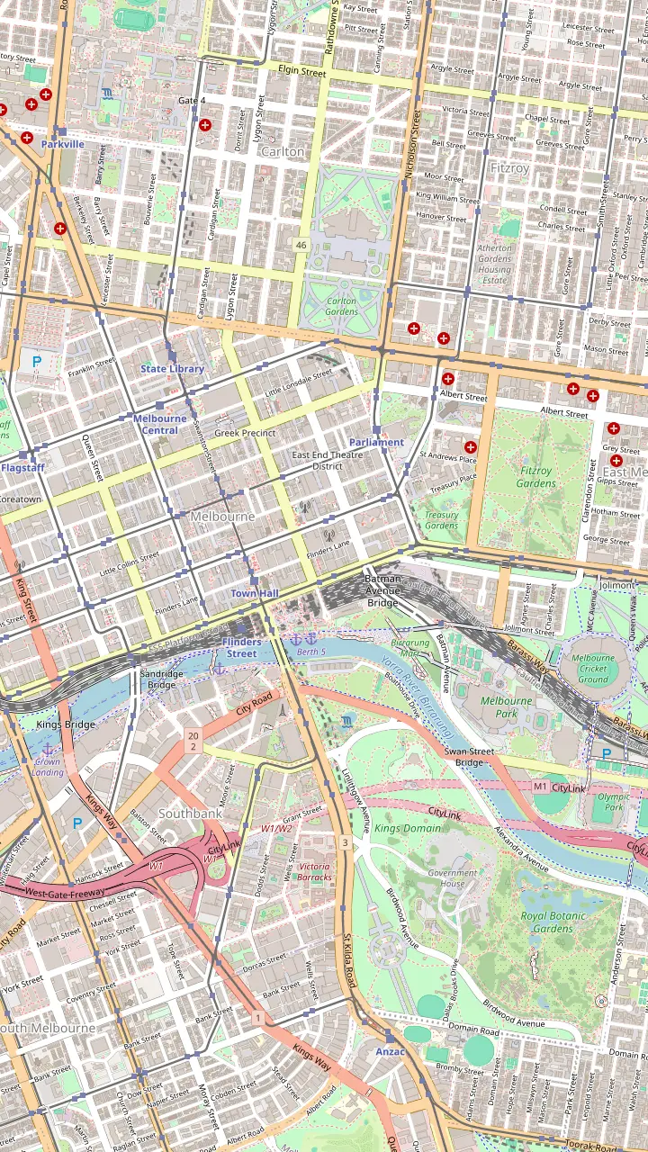
A First Peoples arts centre founded in 1985, open daily from 10am.
Google MapsThe river camp installation: an eel path, message sticks and ancestor stones by the river.
Google MapsNamed after a Wurundjeri elder; voices play as you walk across.
Google MapsWhere people gathered from the 1890s to the 1960s to hear Aboriginal speakers.
Google MapsA traditional Kulin meeting place; a paving inlay reproduces a William Barak painting.
Google MapsA 31-storey building whose balconies form a portrait of William Barak.
Google MapsIndigenous art from the NGV collection at Federation Square.
Google MapsMeet at the Visitor Centre for the First Peoples-led plant walk, 10:45am on Tuesday, Wednesday, Thursday, Saturday and Sunday.
Google MapsBunjilaka, the place of Bunjil, inside Melbourne Museum.
Google Maps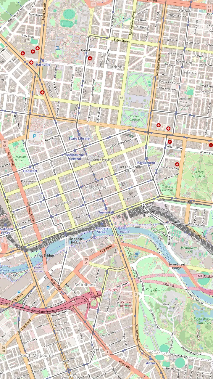
The small park opposite the Hotel Windsor where some of the afternoon bar walks begin.
Google MapsListed as the oldest building in Melbourne, in a lane off Collins Street.
Google MapsA hotel built in 1861, before the station across the road.
Google MapsAbove the lane, a feathered portrait by Adnate and Shida from 2012; the container bar Section 8 below.
Google MapsRobot Bar, full of vintage Japanese robot figures.
Google MapsFashion, cake and a basement bar under the lane.
Google MapsArlechin takes no bookings: walk in from 5pm, Tuesday to Saturday.
Google MapsStreet art below, a piano bar upstairs.
Google MapsLive music and a late licence on AC/DC Lane.
Google MapsA 1929 theatre and one of the best places in the country for a live band.
Google Maps© OpenStreetMap contributors, map data
The famous Melbourne laneways sit inside a few blocks of the old city grid. Here is where each one is, what it is good for, and the hour it is at its best.
Editorial team, melbournelanewaystour.com · Updated November 8, 2026 · 8 min of reading
Quick look
So where are the laneways in Melbourne? Almost all of the famous ones lie inside the Hoddle Grid, the rectangle of streets that surveyor Robert Hoddle laid out on the north side of the Birrarung, the Yarra, in 1837.1 The grid has wide main streets running east to west and north to south, and between them a second, finer layer of narrow service lanes. Those back lanes are what Melbourne now calls its laneways, and most of the ones visitors come for are packed into the blocks between Flinders Street and Bourke Street.
The lanes were never meant to be destinations. Hoddle staked the main streets 99 feet wide and accepted narrow lanes 33 feet wide behind them.7 They were drawn to serve 2 or 3 houses each, but as land was carved up they had to serve 10 or more, and by the State Library's account they turned into dark urinals, rubbish tips and hiding places for criminals.8,9 That grubby past is why so many of today's lanes still have bluestone, loading doors and bins next to their espresso bars.
What turned them around was use, not planning. A bar in Meyers Place is credited by the City of Melbourne with launching the city's laneway revolution, and cafes, small shops and galleries followed it into spaces that had been service alleys.6 Today the City describes its laneways as full of arcades, street art, cafes, bars and boutiques, each with its own character.10 The trick for a visitor is knowing which lane does what, because they are surprisingly different from one another.
Lane by lane
| Lane | Best for | Look for | Nearest main street |
|---|---|---|---|
| Degraves Street | Coffee and brunch | Tables down the middle15 | Flinders Street |
| Centre Place | Coffee, small bars | Majorca Building, 192819 | Collins Street |
| Manchester Lane | Local designers | Shoebox-sized shops21 | Collins Street |
| Block Place | Arcade shortcut | The bend in the arcade22 | Collins Street |
| Hosier Lane | Street art | Murals that change often4 | Flinders Street |
| AC/DC Lane | Rock and murals | The lightning bolt sign23 | Flinders Street |
| Hardware Lane | Outdoor dining | Live music5 | Bourke Street |
| Meyers Place | Bars and dinner | Jungle Funk mural24 | Bourke Street |
| Guildford Lane | A quiet break | Plants and cafes25 | Elizabeth Street |
What each lane is known for, as the City of Melbourne describes it.10
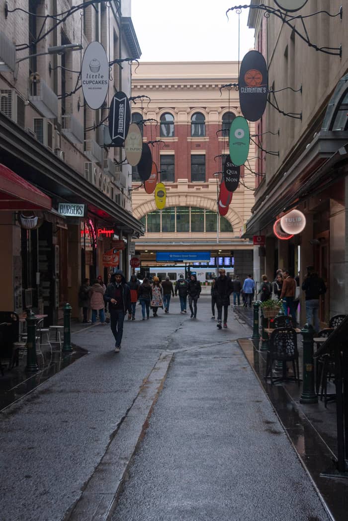
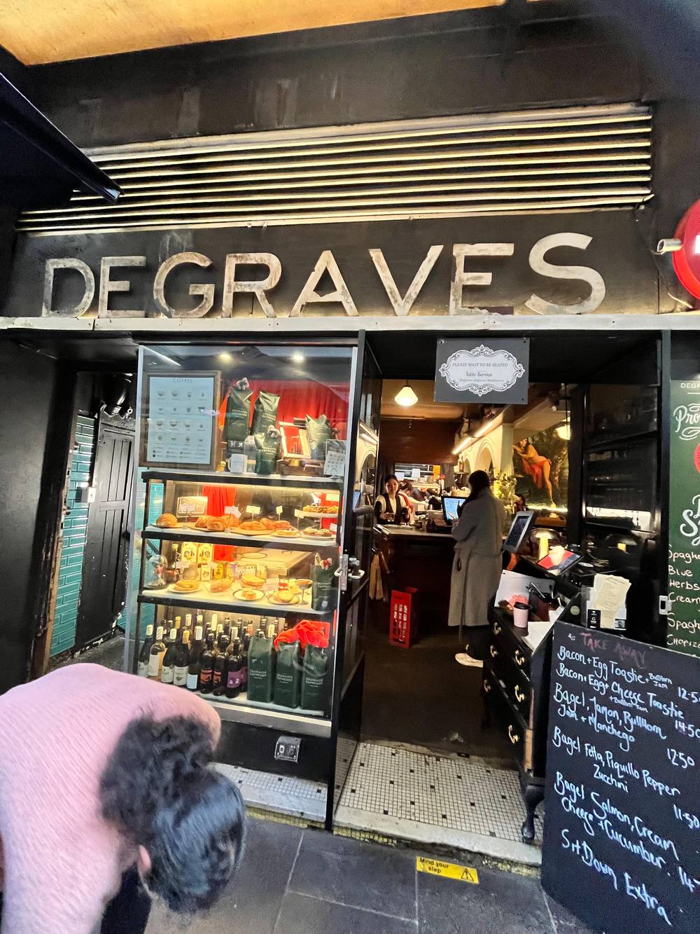
If you only have time for one lane, start with Degraves Street. It sits right across from Flinders Street Station, and the City pitches it as the place for street art and an outdoor brunch.2 Tables run down the middle of the lane under heaters, so you eat in the flow of people rather than beside it.15 Small shops fill the gaps: a stationer stocked from Florence, and a gift shop of handmade Victorian products and produce.16,17
Cross Flinders Lane and Degraves becomes Centre Place, which is even narrower and busier. The City calls it a tiny alley crammed with cafes, bars, offbeat shops and street art.18 Look up at the corner: the Majorca Building was put up in 1928 in a Spanish Moorish style, which is a strange and lovely thing to find above a coffee queue.19 Around it, some bars are hidden up flights of stairs, so the lane has a second, quieter life above eye level.20
These two lanes are among the most popular laneways in Melbourne, and that has a cost: at lunchtime they are slow going. Come before 9am on a weekday for the coffee and the photographs, or mid-afternoon when the office crowd has gone back upstairs. Order at the counter, step aside to drink, and keep the path clear, because Degraves and Centre Place are also a real shortcut between the station and Collins Street for thousands of people who are not on holiday.
A day in the lanes
8am
The Block Arcade opens its doors from 8am on weekdays.11
Morning
Brunch tables in the lane, opposite Flinders Street Station.2
10am
City shops generally open at 10am, Monday to Saturday.12
Midday
The lunch lane fills with office workers.13
Afternoon
Street art, quieter once the morning groups move on.14
Evening
Outdoor tables and live music into the night.5
Flinders Lane runs parallel to Flinders Street, one block in, and it was the old garment district. The Nicholas Building at its Swanston Street end first housed businesses from the Flinders Lane rag trade along with commercial artists, doctors and architects.26 The lane today is a long run of restaurants, galleries and design studios, and its side alleys lead off into smaller lanes worth a detour.
Manchester Lane, between Flinders Lane and Collins Street, takes its name from the fabric factories it held in the 1860s.27 The City now points shoppers here for independent designers working out of shoebox-sized stores, with shoes and streetwear among them.21,28 Nearby Scott Alley is worth a look up rather than along: Bible House rises above it, built in 1898.29
Block Place is the short lane behind the Block Arcade, and it explains the arcade's odd shape. According to Heritage Victoria, the arcade bends because of the old block subdivision and because Block Place ran behind it.22 Walk through the arcade from Collins Street and out through Block Place, then follow the covered passages north into the Royal Arcade. In a few minutes you cross several blocks almost without stepping onto a main street, which is the whole point of the lanes.
Which lane first
Tell us what you came for and start in the right lane.
If I want the classic Melbourne coffee
Degraves Street
Cafes, small shops and tables in the lane opposite the station.3
If I want street art photos
Hosier Lane
The best-known art lane in the city, repainted constantly.14,4
If I want to browse local labels
Manchester Lane
Independent designers in tiny shops.21
If I want dinner outside
Hardware Lane
Tables outside and live music, European style.5
If I want a bar with a story
Meyers Place
Where the laneway bar scene began.6
If I want a quiet corner
Guildford Lane
An industrial lane turned green and calm.25
Pick your lane
Go early
Degraves and Centre Place
Bring a camera
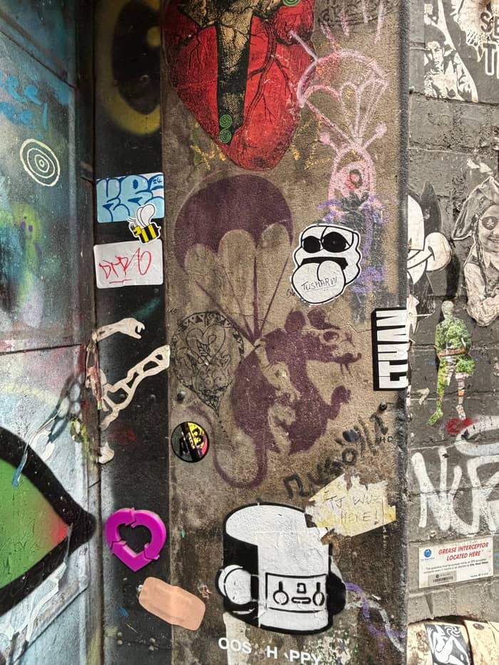
Hosier, AC/DC, Duckboard
Come hungry
Hardware Lane, Meyers Place
The east end of the grid is where the paint is. The City singles out Hosier Lane as Melbourne's most iconic street art laneway, and the crowds agree.14 It runs off Flinders Street close to Federation Square, and its walls are repainted so often that a mural you saw last month may simply be gone.4 Rutledge Lane, which branches off it, is just as colourful; even the bins are covered.55
A short walk north and east, AC/DC Lane has a story of its own. It holds a national first as a street named for a rock band; a slash breaks the official naming rules, so a lightning bolt stands in for it on the sign.23 The lane is a tribute wall to rock music, with a huge portrait of Malcolm Young and a 3D sculpture of Bon Scott bursting through the brickwork.94 Duckboard Place joins it, with some of the biggest murals in the city.56
We cover these lanes in depth in our guide to Hosier Lane and the street art, including how the City separates permitted art from illegal tags. For a first visit, the practical advice is simple. Come in daylight, give painters room to work, and photograph the walls rather than the people in front of them. Early morning is quietest, and overcast days are kindest to photographs because the light is even across both walls of a narrow lane.
Price a guided walk
Set the number of walkers and see what each laneway walk starts at.
Compare 3 alternatives
Set the number of walkers and see what each laneway walk starts at.
≈
View≈
View≈
ViewFrom-prices on GetYourGuide, shown at the ECB reference rate. Your exact price is confirmed during booking.
North of Bourke Street, in the west of the grid, the lanes change mood. Hardware Lane is long and wide enough for tables down both sides, and the City sells it as a European-style lane with live music and outdoor dining.5 Kirk's Wine Bar, on the Little Bourke Street corner, is named after the lane's horse-trading days in the 1840s.30 At the Lonsdale Street end, Pho Thin serves a pho recipe that is 40 years old.95
Further north, Guildford Lane is a reminder of what most lanes once were. The City calls it a rare pocket of the city's industrial past, now an oasis of plants and cafes.25 Katherine Place was replanted under the Green Your Laneway project and has become a food lane.96 These north-western lanes are quieter than Degraves and Hosier, and that is their appeal: you can sit down here.
The grid also holds the lanes that are now the city's lunch canteens. Equitable Place fills with office workers at midday, and the City has officially named a small pocket of the city Melbourne's Koreatown.13,97 If you want to eat where locals eat on a weekday, this is the quarter to aim for, and the queue outside a door is usually a better guide than any sign.
Video
Strollsonic on YouTube · The video stays unloaded until you press play.
Melbourne's famous laneways are buzzing with shopping arcades, street art, cafes, bars and boutiques, all with their own individual character and charm.
Before you walk
Meyers Place, at the top end of Bourke Street, is one of the oldest lanes in the city and one of its most important.98 It linked Bourke Street and Little Collins Street long before it had a bar, and its entrance now carries Mike Makatron's huge Jungle Funk mural.24 It is also one of 4 lanes that the City has transformed through its Green Your Laneway program, so expect plants where you might expect pipes.99
The point of Meyers Place is the evening. Italian restaurants, a comedy room and late bars share it, and it is the right lane to finish rather than start a walk. The same is true of Hardware Lane, which turns into a dinner street, and of the Chinatown lanes off Little Bourke Street, where a maze of alleys leads to tiny bars and restaurants.100
For a night out built around these lanes, see our guide to laneway bars and Melbourne after dark, which covers hidden bars, live music and getting home. The only rule worth repeating here is that the bars are as hard to find as they were designed to be: an unmarked door, a staircase, a basement. Walk the lane once in daylight and the door you want at 9pm will be much easier to spot.
Timing changes everything in the lanes. Shop hours run roughly 10am to 6pm, Monday to Saturday, stretching to 9pm on Friday nights, while Sunday trading is commonly 10am to 5pm.12,101 The Block Arcade opens earlier, from 8am on weekdays.11 So a morning walk catches the coffee lanes and the arcades, while shops in Manchester Lane and the small boutiques are still shuttered before ten.
Lunch is the worst time for Degraves Street and Centre Place and the best time to see the city's working lanes at full noise. Late afternoon suits Hosier Lane and AC/DC Lane, when the tour groups thin out. Evening belongs to Hardware Lane, Meyers Place and the Chinatown alleys, and weekends suit the arcades, which keep longer Sunday hours than many shops; the Royal Arcade stays open until 7pm on Sunday.102
The guided laneways tour this site sells lasts 3 hours, the group never exceeds 10, and the listing publishes no fixed route, so the guide picks the lanes on the day. It is wheelchair accessible according to its listing, and a guide adds the stories you will not find on any wall. If you prefer your own pace, our self-guided laneways walk sets out the City's official route stop by stop.
FAQ
Degraves Street runs north from Flinders Street to Flinders Lane, and Centre Place carries on from there towards Collins Street. Most people walk them as a single lane.
The bar lanes such as Hardware Lane and Meyers Place are busy in the evening. Stick to lit, occupied lanes and use common sense, as in any city centre.
All the lanes are public streets. The City publishes a free self-guided walk of about 2.4 km that takes around 2 hours.103
Allow 2 to 3 hours to walk the main lanes with a coffee stop; the guided laneways tour takes 3 hours.103
Sources
Next read
Not sure which walk to book? Ask a real person here.