Free
On your own
The City's free route
- LengthAbout 2.4 km
- TimeAround 2 hours
- MapPDF or our map
Guides
Language
Currency
Find open dates$90 and up · free cancelSpot your stop
Melbourne laneways on foot, 3 hours with a local guide
★ 4.9 · 345 written reviews
Open 54 stops
Tap a route first, then a pin or stop, for its note and Google Maps.
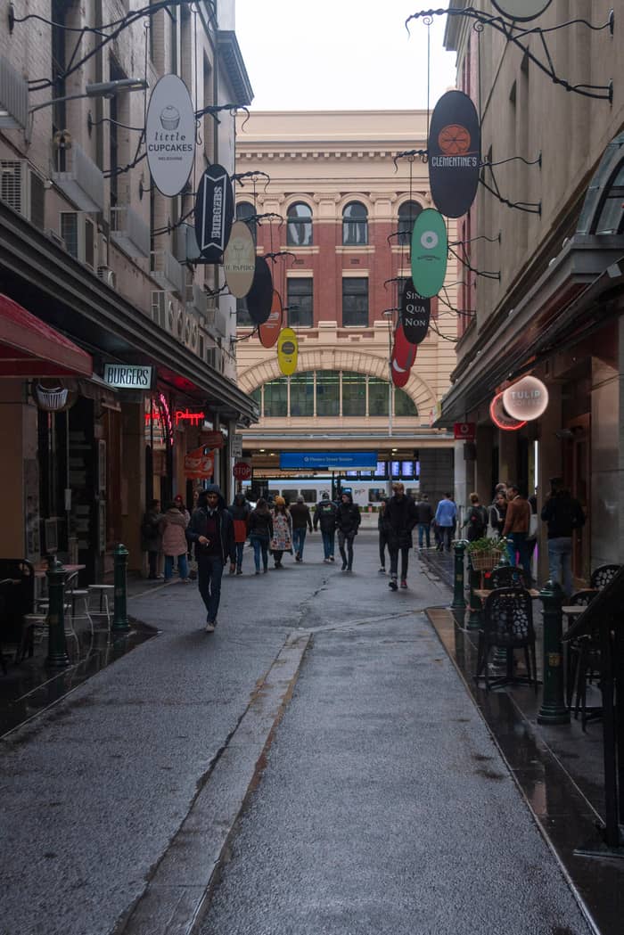
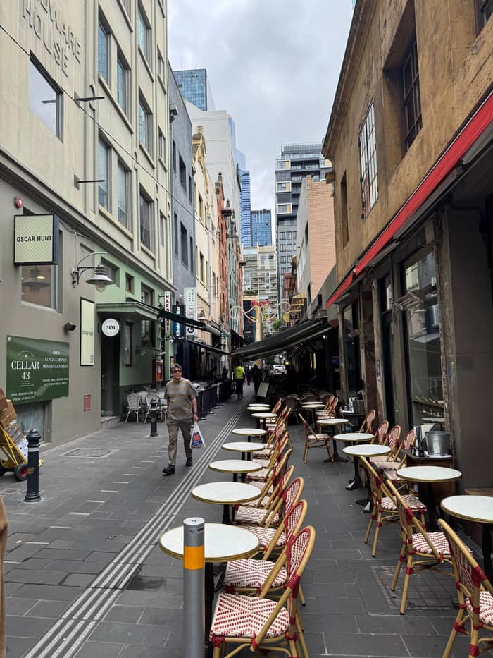
Opposite Flinders Street Station: brunch tables down the middle of the lane, street art, and small shops such as a Florentine stationer.
Google MapsA narrow, crowded alley of cafes and bars; note the Spanish Moorish Majorca Building on the corner, from 1928.
Google MapsCrepes and banh mi, and a look up at Bible House of 1898.
Google MapsAn Art Deco arcade that opens into the Nicholas Building of 1926.
Google MapsNamed after the fabric factories of the 1860s, now small designer and shoe shops.
Google MapsGlass roof and a mosaic floor laid with tiles from Europe; the Collins Street side was finished in February 1892.
Google MapsAustralia's oldest surviving arcade, built in 1869; Gog and Magog have struck the hours since 1892.
Google MapsA long lane of outdoor tables and live music; Kirk's recalls its 1840s horse trading.
Google MapsStreet art below, a piano bar upstairs.
Google MapsA double-storey shipping container bar with a rooftop.
Google MapsArtist Mirka Mora once worked here; today the balconies spill greenery.
Google MapsCoffee roasters and a shop for shoes, haircuts and suits.
Google MapsA rainbow-lit arcade with a direct way into Emporium and the GPO.
Google MapsFashion, cake and a basement bar under the lane.
Google MapsA green wall leads to a lantern-lit pizzeria; Emporium's floors of shops are at the far end.
Google Maps
Opposite Flinders Street Station: brunch tables down the middle of the lane, street art, and small shops such as a Florentine stationer.
Google MapsA narrow, crowded alley of cafes and bars; note the Spanish Moorish Majorca Building on the corner, from 1928.
Google MapsThe lane behind the Block Arcade; its line is the reason the arcade bends.
Google MapsNamed after the fabric factories of the 1860s, now small designer and shoe shops.
Google MapsThe old rag-trade lane, with the Nicholas Building at its Swanston Street end.
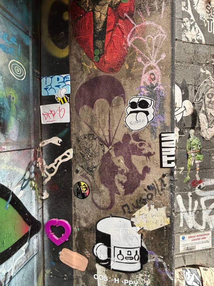
Google MapsThe city's best-known street art lane, repainted so often that pieces vanish overnight.
Google MapsAustralia's first street named after a rock band, with a lightning bolt instead of the slash.
Google MapsHome of the bar that started the laneway revival, with Mike Makatron's Jungle Funk mural at the entry.
Google MapsA long lane of outdoor tables and live music; Kirk's recalls its 1840s horse trading.
Google MapsA rare survivor of the industrial city, now green with plants and cafes.
Google Maps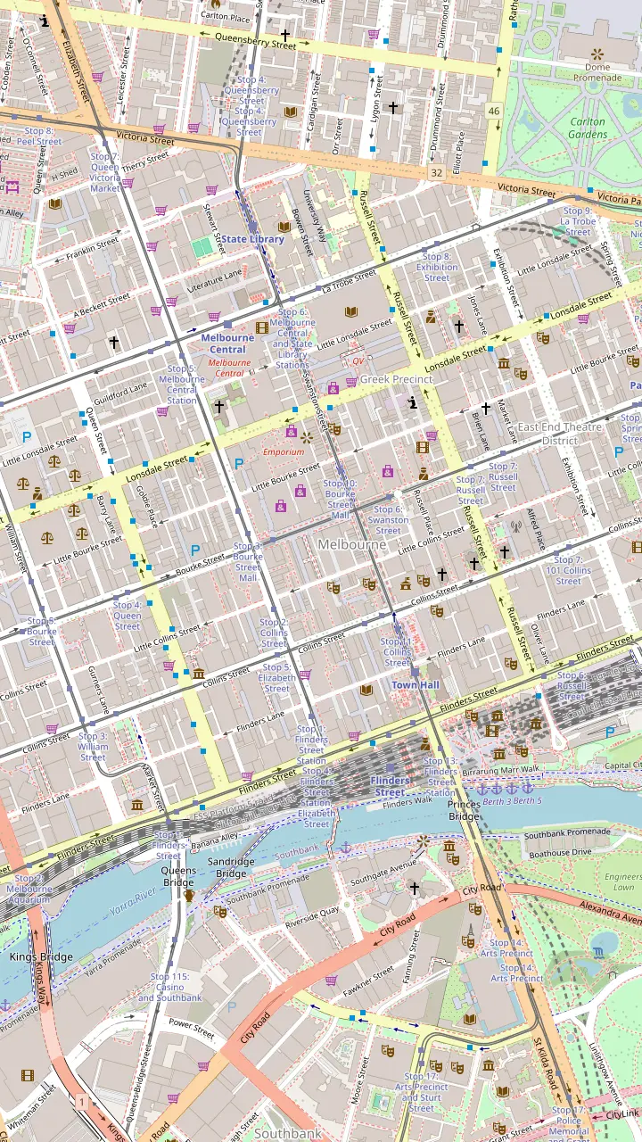
Glass roof and a mosaic floor laid with tiles from Europe; the Collins Street side was finished in February 1892.
Google MapsAustralia's oldest surviving arcade, built in 1869; Gog and Magog have struck the hours since 1892.
Google MapsEdwardian Baroque of 1911 linking Collins Street and Flinders Lane.
Google MapsAn Art Deco arcade that opens into the Nicholas Building of 1926.
Google MapsA 1924 cinema with lit ceilings by Walter Burley Griffin and Marion Mahony Griffin.
Google MapsArt Deco of 1932 and Melbourne's first building with escalators; mosaic arcade at street level.
Google MapsThe lane that leads to Presgrave Place, with a tiny vegan jaffle kiosk.
Google MapsA rainbow-lit arcade with a direct way into Emporium and the GPO.
Google MapsThe lane behind the Block Arcade; its line is the reason the arcade bends.
Google Maps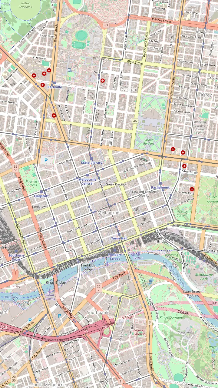
The city's best-known street art lane, repainted so often that pieces vanish overnight.
Google MapsOff Hosier Lane; even the bins here are painted over.
Google MapsAustralia's first street named after a rock band, with a lightning bolt instead of the slash.
Google MapsBig murals by Fintan Magee and Steen Jones, and one of the last Banksy rats.
Google MapsLisa King's giant sleeping woman on the wall of Brunetti.
Google MapsA miniature outdoor gallery of framed works on the walls.
Google MapsAbove the lane, a feathered portrait by Adnate and Shida from 2012; the container bar Section 8 below.
Google MapsA winding lane off Little Bourke Street with colourful murals.
Google MapsA tiled mosaic for Legacy House and a towering mural by Jaz Mishap at the end of the alley.
Google MapsNamed after Blender Studios, an early home of the city's street art scene, off Franklin Street.
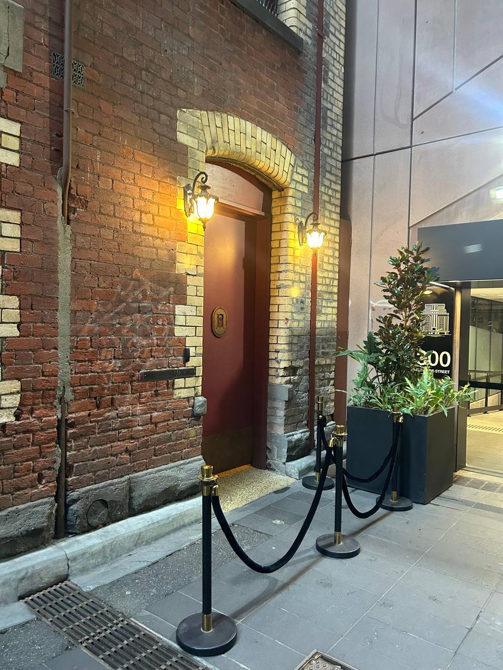
Google MapsHome of the bar that started the laneway revival, with Mike Makatron's Jungle Funk mural at the entry.
Google Maps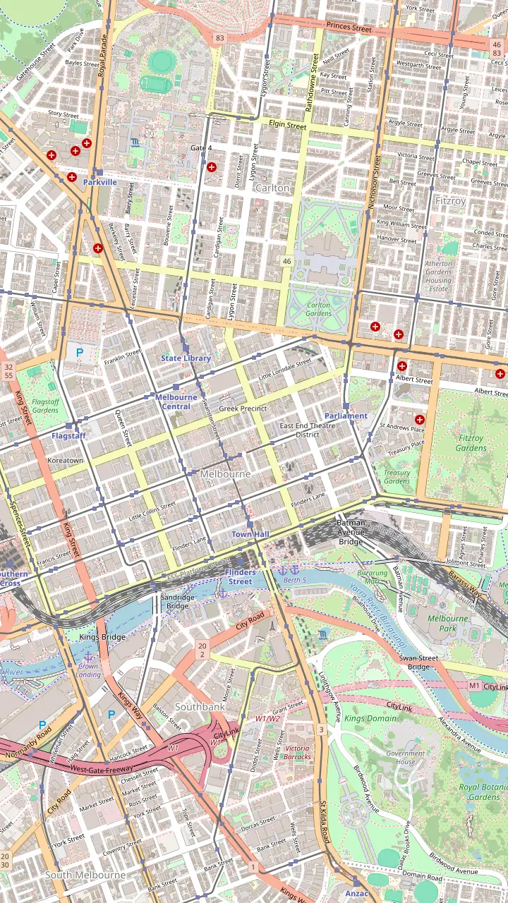
Australia's oldest train station site; the present building was completed in 1910. Meet under the clocks.
Google MapsA hotel built in 1861, before the station across the road.
Google MapsCompleted in 1870 in bluestone and Tasmanian freestone; free tours are offered.
Google MapsAustralia's oldest surviving arcade, built in 1869; Gog and Magog have struck the hours since 1892.
Google MapsGlass roof and a mosaic floor laid with tiles from Europe; the Collins Street side was finished in February 1892.
Google MapsListed as the oldest building in Melbourne, in a lane off Collins Street.
Google MapsOpened in 1854; Ned Kelly's armour is on display.
Google MapsMelbourne's prison from 1845, run today by the National Trust.
Google MapsIts exhibition traces how the city boomed after the 1850s gold finds.
Google MapsArt Deco of 1932 and Melbourne's first building with escalators; mosaic arcade at street level.
Google Maps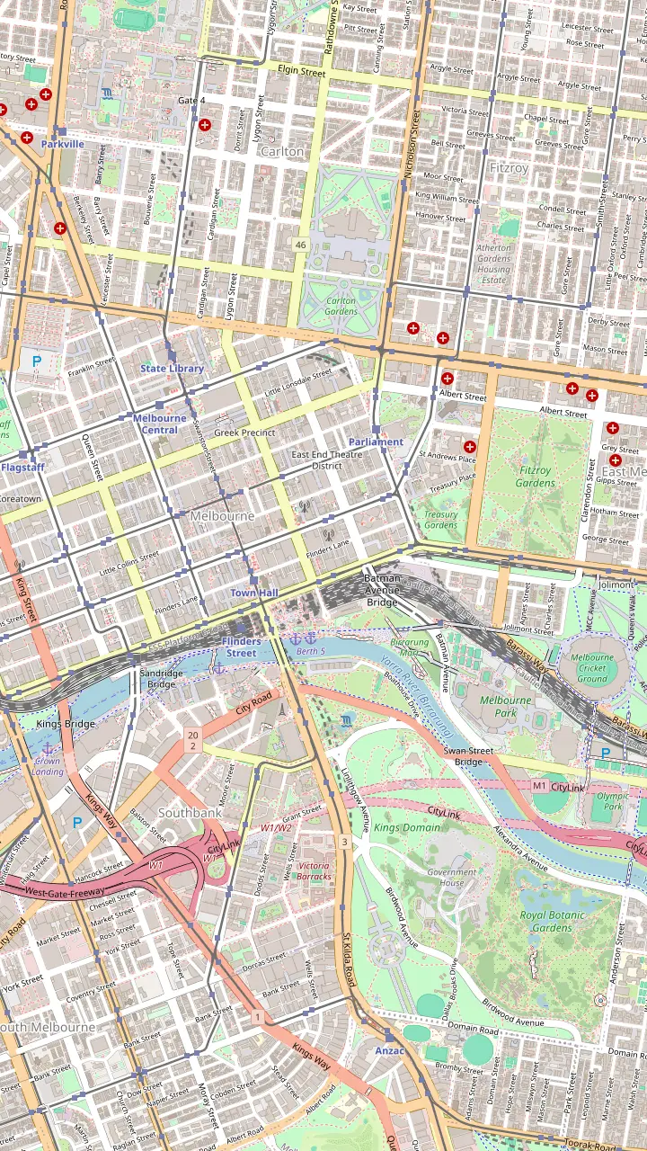
A First Peoples arts centre founded in 1985, open daily from 10am.
Google MapsThe river camp installation: an eel path, message sticks and ancestor stones by the river.
Google MapsNamed after a Wurundjeri elder; voices play as you walk across.
Google MapsWhere people gathered from the 1890s to the 1960s to hear Aboriginal speakers.
Google MapsA traditional Kulin meeting place; a paving inlay reproduces a William Barak painting.
Google MapsA 31-storey building whose balconies form a portrait of William Barak.
Google MapsIndigenous art from the NGV collection at Federation Square.
Google MapsMeet at the Visitor Centre for the First Peoples-led plant walk, 10:45am on Tuesday, Wednesday, Thursday, Saturday and Sunday.
Google MapsBunjilaka, the place of Bunjil, inside Melbourne Museum.
Google Maps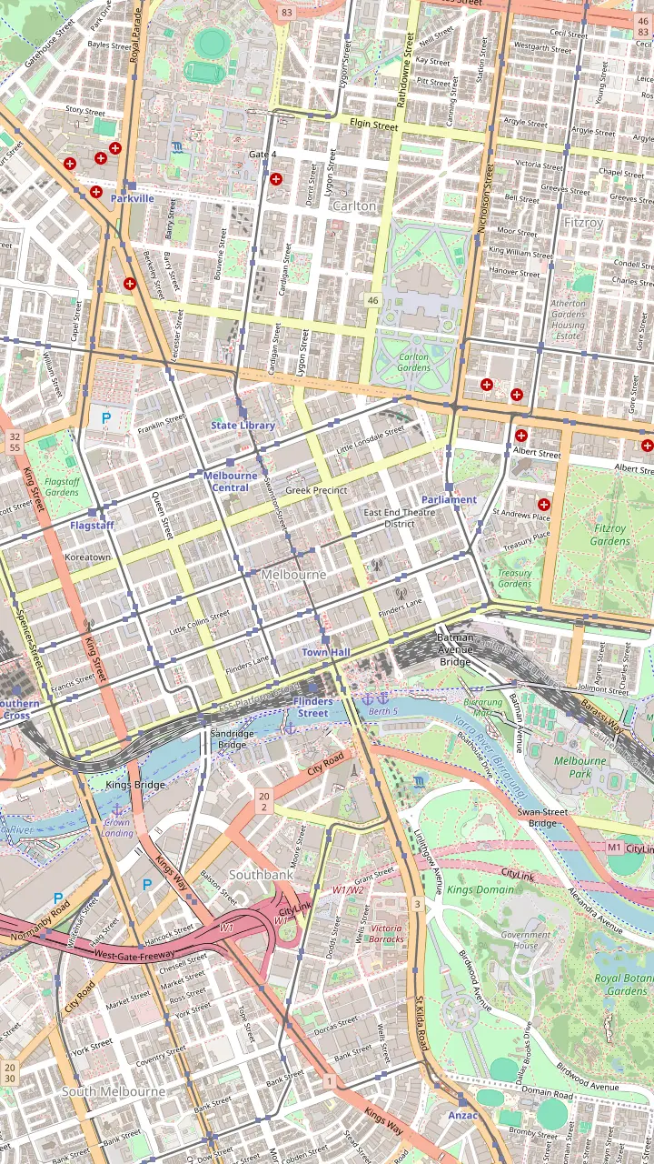
The small park opposite the Hotel Windsor where some of the afternoon bar walks begin.
Google MapsListed as the oldest building in Melbourne, in a lane off Collins Street.
Google MapsA hotel built in 1861, before the station across the road.
Google MapsAbove the lane, a feathered portrait by Adnate and Shida from 2012; the container bar Section 8 below.
Google MapsRobot Bar, full of vintage Japanese robot figures.
Google MapsFashion, cake and a basement bar under the lane.
Google MapsArlechin takes no bookings: walk in from 5pm, Tuesday to Saturday.
Google MapsStreet art below, a piano bar upstairs.
Google MapsLive music and a late licence on AC/DC Lane.
Google MapsA 1929 theatre and one of the best places in the country for a live band.
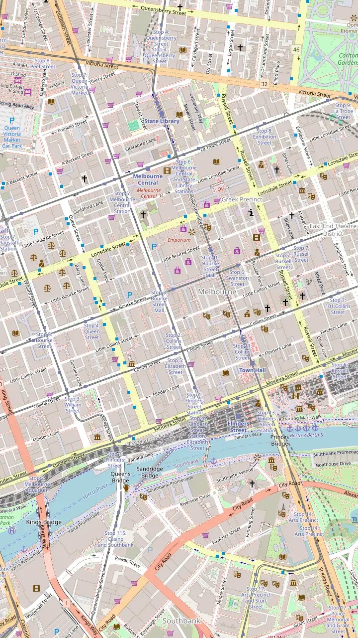
Google Maps© OpenStreetMap contributors, map data
This Melbourne self-guided walking tour follows the City's own laneways and arcades route from Degraves Street to Postal Lane. Here it is stop by stop, with a map, the timing that works, and where to rest.
Editorial team, melbournelanewaystour.com · Updated November 8, 2026 · 7 min of reading
Quick look
The best Melbourne self-guided walking tour of the lanes is the one the City of Melbourne publishes itself. Its Iconic laneways and arcades walk runs about 2.4 km and takes around 2 hours, and it links the cafes, small shops, wine bars and arcades of the inner lanes in a single route north from Flinders Street.1 You can download it as a small PDF, or pick up a printed copy at the City's visitor centres.5,6
We have laid the route out on our map as a Melbourne laneways walking tour map, with each stop pinned in walking order. The walk visits stops that are easy to miss, from crepe counters in Scott Alley to a shipping container bar in Whitehart Lane, and it rarely spends more than a few minutes on a main street.7,8 Allow the full 2 hours if you stop for coffee, and a bit more if you browse.1
Distances are short, but surfaces are mixed. Several lanes are paved with bluestone, a few have steps or narrow passages, and some of the best bars on the route are up flights of stairs.9 If you need step-free access, stay with the main arcades and the wider lanes, and note that manual wheelchairs and scooters can be hired at Flinders Street Station.10
Stretch by stretch
| Stretch | Stops | Do this | Main street |
|---|---|---|---|
| The coffee lanes | Degraves, Centre Place | Breakfast in the lane | Flinders Street |
| The design lanes | Scott Alley, Manchester Lane | Browse local labels | Collins Street |
| The arcades | Block, Royal | Mosaics and the clock | Bourke Street |
| The west lanes | Hardware, Warburton, Rankins | Coffee in Somerset Place | Bourke Street |
| The finish | The Strand, Driver, Postal | Shops or a pizza | Little Bourke Street |
Stops follow the City of Melbourne's Iconic laneways and arcades walk.1
Start at Degraves Street, across from Flinders Street Station; the City sends you here for street art and an outdoor brunch.2 Walk north across Flinders Lane into Centre Place, a narrow alley of cafes, bars, odd little shops and art, and look up at the Spanish Moorish Majorca Building on the corner, built in 1928.16,11
Turn into Scott Alley for crepes or banh mi and a look up at Bible House, which went up in 1898.7,17 Then cut through the Art Deco Cathedral Arcade into the Nicholas Building, a vertical laneway of studios and small makers.18,19 Manchester Lane, named after its 1860s fabric factories, is the next stop for independent labels.20,21
Cross Collins Street into the Block Arcade. Its glass canopy and mosaics are compared by the City with the Galleria Vittorio in Milan, and the arcade has a spice shop and a Dr Seuss gallery among its tenants.12 This is a good point to pause: if you set off before 10am, the shops along the route will be opening around now.4
Exit the Block Arcade through Block Place, step over Little Collins Street and go into the Royal Arcade, which the City's walk calls Australia's oldest shopping arcade.27 Wait under Gaunt's clock if the hour is close, because Gog and Magog have struck the hours there since 1892.13 Koko Black and a magic shop are among the stores inside.28
Out on Bourke Street, walk west to Hardware Lane, where the City promises a European feel, live music and tables in the open air.14 Kirk's Wine Bar takes its name from the horses traded here in the 1840s.29 From here the route turns into a cluster of tiny lanes: Warburton Lane with its street art and an upstairs piano bar, Whitehart Lane with its container bar, and Rankins Lane, where the artist Mirka Mora once had a studio.30,8,31
Somerset Place is the coffee stop on this stretch, with a roastery and a shop that does shoes, haircuts and lunch under one roof.32 These lanes are short and close together, so take them slowly. They are the part of the walk that feels most like a discovery, because almost nobody walks them unless they know they are there.
Guided or not
Pick the sentence that sounds like you.
If I like to set my own pace
Walk it yourself
The City's route is free, about 2.4 km, around 2 hours.1
If I want the stories behind the lanes
Take the laneways tour
3 hours with a local guide, up to 10 people.
If I have small children
Walk it yourself
Stop when they need to; private tours suit families with under-13s.
If I only have a morning
Walk it yourself
Start at Degraves Street and finish by lunch.
If I am in a wheelchair
Take the laneways tour
The tour is wheelchair accessible and uses controlled crossings.
Three ways to walk it
Free
The City's free route
Group of up to 10
This site's tour
Starts at Gordon Reserve
Broader story
The last stretch heads north to Little Bourke Street. The Strand is a rainbow-lit arcade with direct access into Emporium and the old GPO, which makes it a useful shelter if the weather turns.47,48 Driver Lane, beside it, has fashion, cakes and a basement bar.49
The walk ends in Postal Lane, where a green wall leads to a lantern-lit pizzeria.15 At the Little Bourke Street end is Emporium with its floors of shopping, and Melbourne Central lies beyond it if you want to keep going.3 From here you are a short walk from the State Library on Swanston Street and from the tram lines back down to Flinders Street.
The City also lists a few extra lanes near the route for anyone with energy left: Crossley Street for Pellegrini's and the Paperback Bookshop, Market Lane as a shortcut from Chinatown to Bourke Street, and Katherine Place, a green lane of food.97,98,99 They make a good second loop on another day, or the start of an evening in the lanes.
Rather go guided
Choose your group size to see starting totals.
Compare 3 alternatives
Choose your group size to see starting totals.
≈
View≈
View≈
ViewFrom-prices on GetYourGuide, shown at the ECB reference rate. Your exact price is confirmed during booking.
Stop by stop
Start
Opposite Flinders Street Station, brunch in the lane.2
Then
Look up at the Majorca Building of 1928.11
Collins St
Glass canopy and mosaics.12
Little Collins St
Gog and Magog strike the hours.13
Bourke St
Outdoor tables and live music.14
Finish
Start time matters more than distance. Shops in the centre usually trade from 10am to 6pm, Monday to Saturday, with late trading to 9pm on Fridays; on Sundays many keep 10am to 5pm hours.4,100 The arcades open earlier: the Block Arcade at 8am on weekdays and the Royal Arcade at 7am.101,102 An early start from Degraves Street with breakfast puts you in the arcades just as the shops open.
Avoid the midday rush in Degraves Street and Centre Place if you can, and keep Hardware Lane for its lunch or dinner trade. On a weekend the route is busy but lively; on a weekday evening many small shops have closed, though the bars and restaurants on the route are just getting going.
Melbourne weather changes fast. Tourism Australia notes that locals often see four seasons in a single day, and advises packing layers plus an umbrella, whatever the month.103,95 The route is mostly covered between the Block Arcade and the Royal Arcade, so plan any long browsing for that part if rain is forecast.
Video
TheSlowWalker on YouTube · The video stays unloaded until you press play.
Wandering through the city’s mosaic arcades and art-filled laneways might be the ultimate way to see Melbourne on foot.
There is no shortage of places to sit: every lane on the route has cafes, and Degraves Street serves food at tables down the middle of the lane.104 For a free map and local advice, the Melbourne Visitor Hub is at Town Hall on Swanston Street, at the corner of Little Collins Street, close to the route.105 Free wi-fi covers the central city, so the PDF and our map work without data.106
Getting back is easy, because the whole walk lies inside the Free Tram Zone, the central-city area edged by La Trobe, Spring and Flinders streets.96 Inside it you need no myki on the trams, but you do on trains and buses.107 From Postal Lane, walk to Swanston Street or Elizabeth Street and ride any tram south to Flinders Street.
The heritage City Circle tram is free too and loops past the main sights, if you want a rest with a view.108 Note that the City Circle uses older trams without low floors, so it is not the best choice with a pram or wheelchair.109
A Melbourne laneways self-guided tour gives you freedom: your pace, your stops, no group. What it cannot give you is the story behind each door, or a guide who knows which hidden bar is open today and which mural went up this week. In lanes that change as fast as these, that local knowledge is most of the value.
Our guided laneways tour runs for 3 hours with a maximum of 10 guests, and starts from the front of St Paul's Cathedral, where Swanston Street meets Flinders Street. Its guides are first-aid trained, the listing marks it as suitable for wheelchairs, and free cancellation applies until 24 hours before the start.
A sensible plan is to do both. Take the guided tour on your first morning to learn the lanes and their stories, then use the City's free route and our map on a later day to go back to the places you liked best. You will walk the second time as someone who knows the city, not someone looking for it.
FAQ
The City's laneways and arcades walk is about 2.4 km and takes around 2 hours.1
Across from Flinders Street Station.2
Inside the Free Tram Zone you need no myki on trams.107
Some bars on the route are up stairs and some lanes are cobbled; the main arcades are level.9
The laneways tour takes 3 hours with up to 10 people and adds context a map cannot.
Sources
Next read
Not sure which walk to book? Ask a real person here.